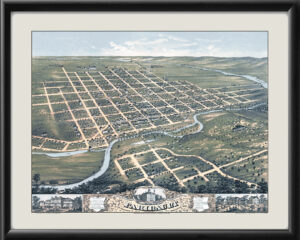
Restored bird’s eye view map of Rochester, Minnesota, 1869 by Albert Ruger.
$44.95 – $79.95
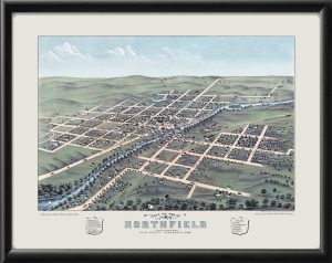
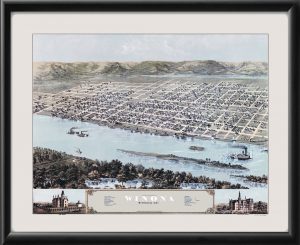
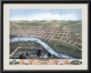
Our maps are shipped to you unframed. We show them as low-resolution, framed images for illustration purposes only.
24×30, 36×48
The results below are a partial list of maps, for a full listing please visit Shop by State or Shop by Country.